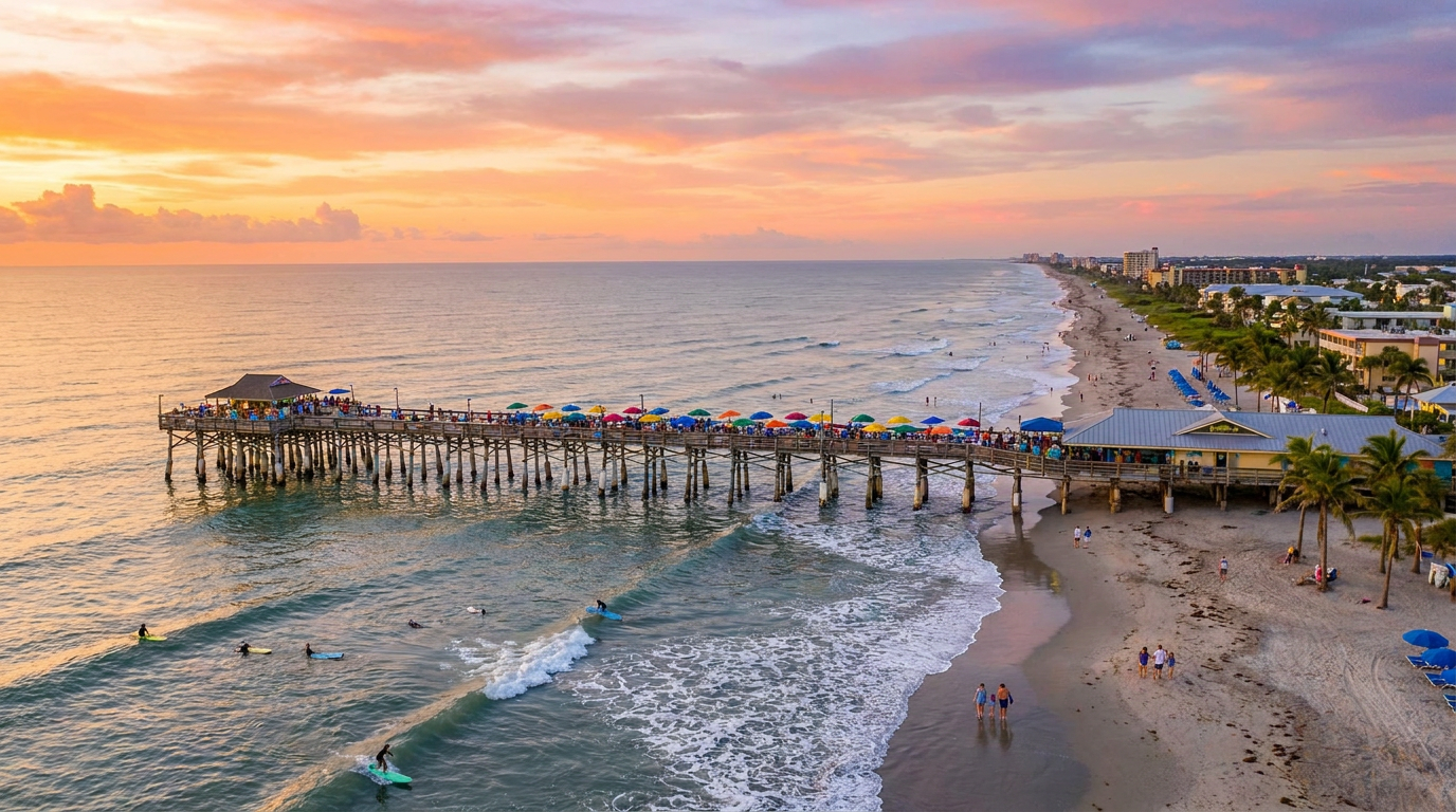
Why the Standard Tourist Maps Misunderstand the Space Coast
The heavy, mineral stench of sulfur and salt air hits you the second your tires leave the pavement of Ramp Road. You roll down the window. The polite ocean breeze vanishes, replaced by the dense, vegetal weight of a living estuary. Most visitors speed right past the boat ramps here, fixated on reaching the ocean-facing shoreline just a few miles east. They are missing the actual engine of the city.
The Reason Ditching the Sand for the Mangroves Makes Sense
Back in 2018, I thought renting a foam board near the pier was the beginning and end of a trip to this stretch of the Atlantic. I spent three days fighting the chop, eating sandy wraps at a beachside grill, and believing I had seen it all. I was wrong. By 2026, I know the actual pulse of the local geography operates on the river side, hidden behind the condo high-rises and neon surf shops.
According to Florida Fish and Wildlife Conservation Commission tidal charts, the river drops roughly a foot and a half during a typical outgoing tide. That vertical drop sounds minor on paper. Then you observe the wet roots of the red mangroves exposed in the afternoon sun. The transition changes the entire landscape. The receding water reveals a dark, abrasive wall of oyster shells clinging to submerged branches. It smells raw and ancient.
I arrived at a small municipal ramp near the edge of the park. A guy wearing a faded visor was struggling to untangle a cast net by the pilings, muttering to himself about a broken shoelace. A flat-bottom skiff hummed quietly in the distance. The shoreline here lacks visual poetry. You usually find rusted boat trailers parked at odd angles and a trash can that overflows by noon on weekends. But the estuarine salinity gradient forces marine life into a predictable migration, pushing species deeper into the mangrove channels when the tide recedes. You just pass the immediate concrete debris to reach the functioning ecosystem.
Why an Authentic Estuary Defies the Setup
Come out here around sunset when the larger boat wakes finally settle. The water surface turns into a slick, warm mirror reflecting the coastal pines. The stillness breaks when the sharp, punctured-tire hiss of a bottlenose dolphin surfacing interrupts the quiet, lingering off your port bow.
According to the St. Johns River Water Management District, this connected lagoon system supports roughly 4,000 distinct species of animals and plants. Knowing that background metric makes you feel small while listening to the rhythmic clicking of dolphin echolocation vibrating through a fiberglass hull.
Bypassing the generic rental bottlenecks requires some forethought. Platforms like Rockon Recreation Rentals, a VisitFlorida Travel Partner, connect visitors with local paddlers and vessel guides who avoid the crowded central cuts. Finding someone who knows the undocumented shallow routes feels essential out here.
Why the Accidental Islands Outsmart Digital Wildlife Apps
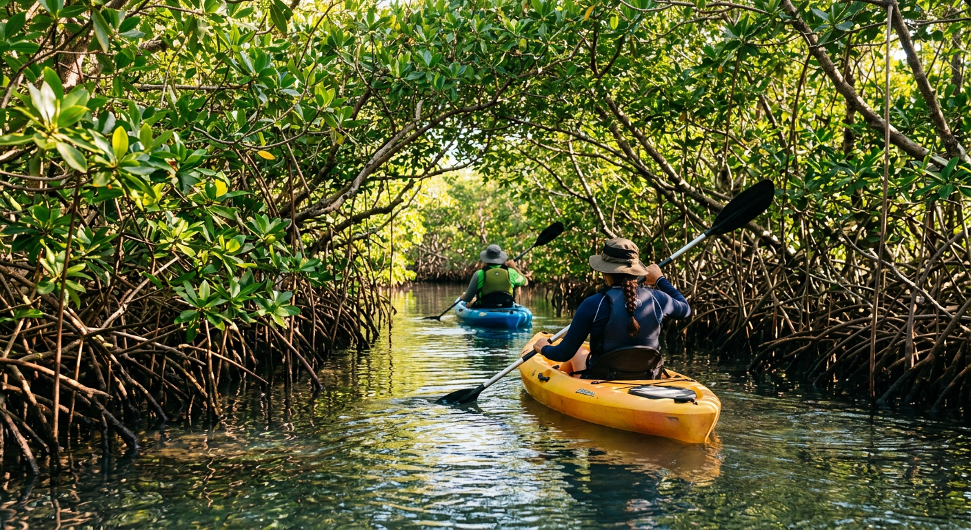
The ambient noise of highway traffic cuts to a low, distant hum the moment you drift into a narrow cut. The current grabs the bow with a persistent tug. It pulls you away from the open river and into the winding green corridors that define the quietest backwaters on the space coast.
These mangrove clusters look primordial. They aren't. Many of local island clusters are actually the result of mid-century dredge spoil piled up during coastal development phases. The vegetation took over the displaced mud, creating an accidental labyrinth. It thrives anyway.
According to National Oceanic and Atmospheric Administration buoy data, the water in the central channels moves at about a knot and a half during a lunar tide. The reality in the tight cuts feels much heavier. It applies a physical resistance that slowly works its rhythm into your shoulders. By exactly minute 87 of a continuous paddle, you will carry a dull ache. Trust your gut on this, even if a brochure promises an "effortless glide."
The Reason Tidal Forecasts Fail Under the Canopy
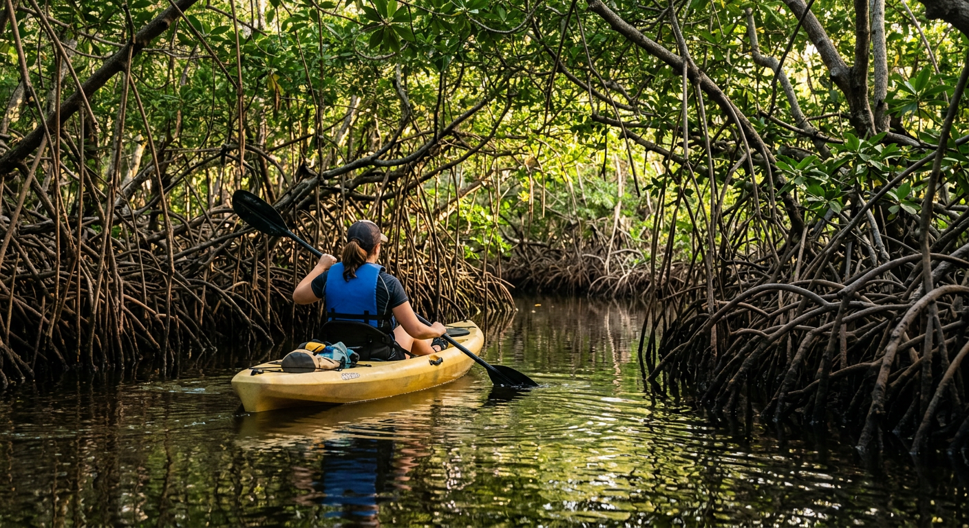
The sudden drop in degrees under the dense branches feels like stepping down into a root cellar. The shaded air replaces harsh sunlight with a cling of cool humidity against your neck. You start noticing the hollow, rhythmic popping of pistol shrimp echoing through the tangled wood. The space operates as a busy acoustic environment that somehow remains restful.
Local paddling forums often suggest sticking to the widest bays to avoid shallow flats during the afternoon. Research is my love language; reality is my ex. They are right about the mud, which kicks up a sharp sulfur odor that clings to nylon gear. Breathing a little swamp gas is a minor trade-off for having the narrower channels to yourself.
This is where the grand illusions of planning break down. Digital forecasts are largely useless past the main markers. The app interface predicts regional winds accurately, but these branch walls block and redirect every coastal breeze, creating distinct microclimates.
Why the Best Excursions Happen When You Stop Trying So Hard
The dense, wet heat wrapped around my shoulders the moment my outfitter cut the small outboard engine near a seagrass bed. The absence of that drone left a heavy quiet behind. You can taste the sharp tang of evaporating salt on your upper lip.
Wild animals ignore enthusiastic clapping and loud cheering. Silence is your best tool in these shallows.
The Reason Morning Winds Dictate the Route
National Weather Service coastal data shows basin winds routinely pushing past ten knots by late morning across the region. That persistent breeze turns the surface into a scattered mess of chop, making tracking dorsal fins nearly impossible.
A typical estuarine bottlenose holds its breath sweeping the shallow flats. The seagrass bends with the tide below them, hiding mullet and baitfish in the green shadows. When a pod is cornering a school against a muddy bank, the erratic splashes sound like dropped bowling balls hitting the surface.
Why Patience Actually Pays Off
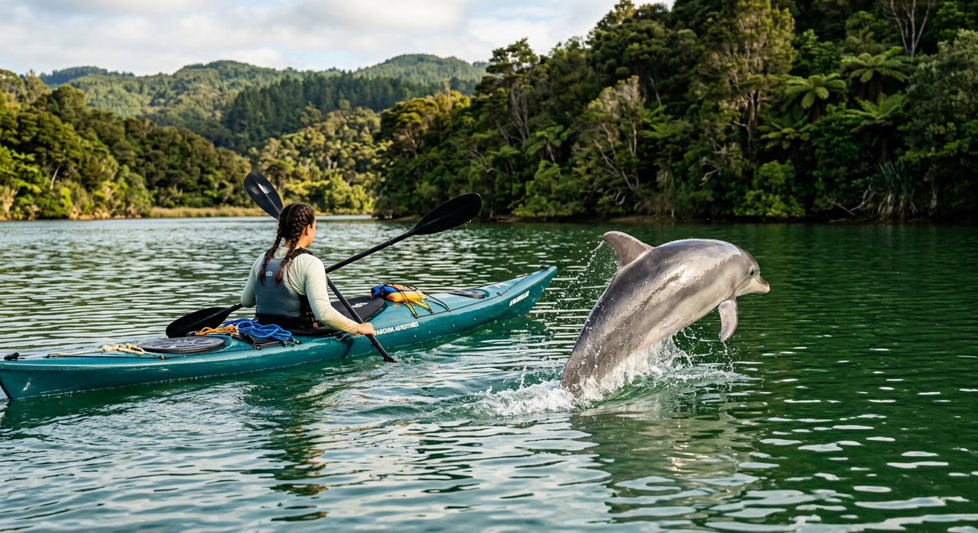
Tour marketing boards show leaping marine life framed against a neat sunset sky. If it is on a postcard, it is a trap. The reality involves drifting for forty minutes in high humidity, staring at a patch of brown liquid until your eyes blur. Your shirt will soon stick to the seat.
Once a pod breaches nearby, you have seconds to fumble for a camera before they dive back down into the murky green. I took zero usable photos the last time I went out. I just watched them hunt along the limestone drop-off.
The Reason Practical Logistics Trump Fiction for Your Trip
Step into the water to turn a shallow hull, and the thick silt sucks at your water shoes with a heavy, wet squelch. The depth at most municipal ramps averages around three feet. That shallow plain traps the late-morning heat, turning the bottom into a lukewarm bath against your ankles. It is not a resort welcome.
Why Standard Harbor Fashion Fails Here
A prominent local shop owner suggested wearing quick-dry tactical fabrics and wide hats. 2018 me scoffed at looking like a safari extra. 2026 me knows the locals are right for once.
Nature owes us no favors out here. Denim stays damp and restrictive all day in the estuarine climate. You need gear designed to tolerate the environment, especially when navigating unshaded stretches.
- Wear polarized sunglasses. They cut the harsh surface glare so you can identify the dark oval shapes of manatees resting below.
- Pack a hat with a chin strap. The unexpected coastal gusts shooting through the mangrove gaps will send a standard baseball cap straight into the Atlantic.
- Carry a dry bag for electronics. A passing boat wake over a shallow flat displaces a massive volume of water.
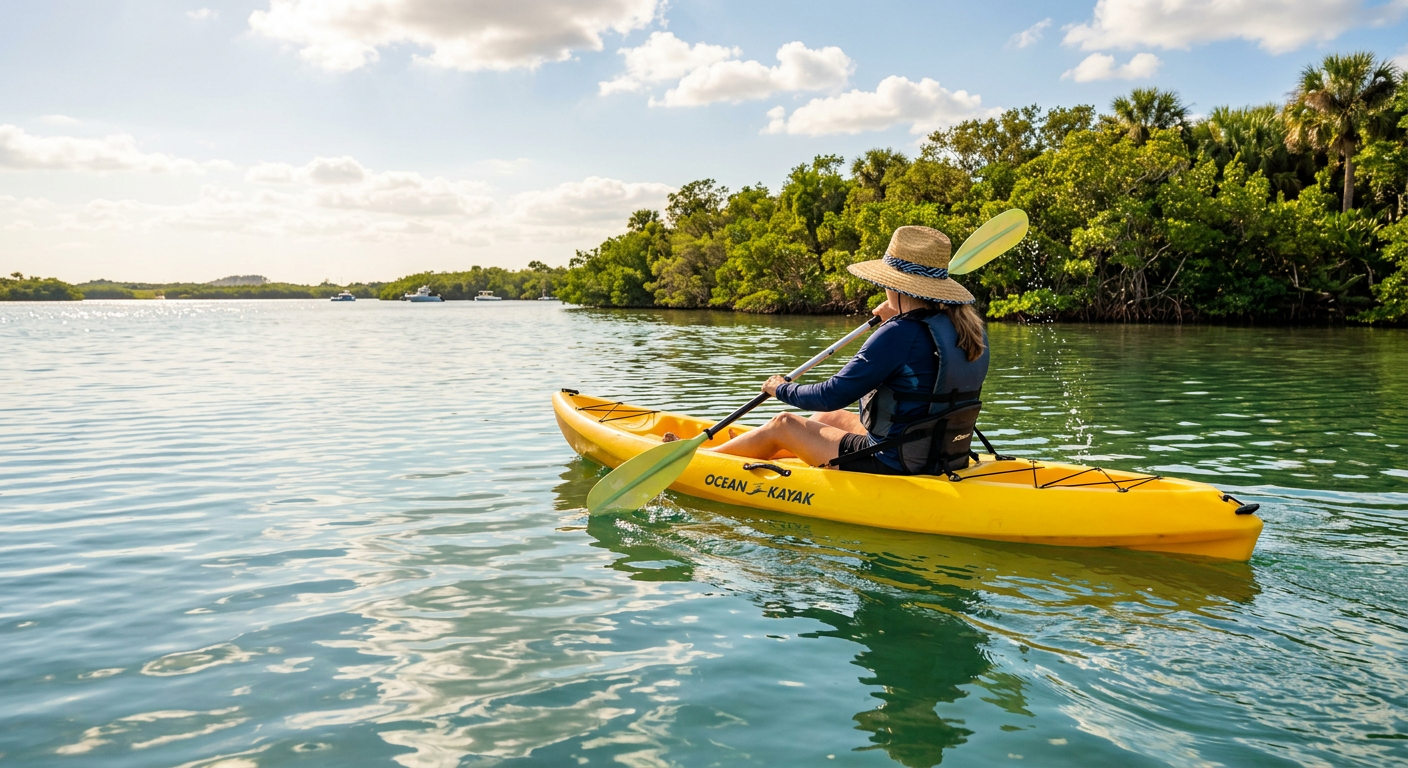
The UV index routinely spikes by noon in mid-summer. That metric feels less like a number and more like a physical weight pressing down on your exposed arms. Sunscreen rarely gets the job done for a three-hour run on the exposed water.
The Reason You Should Trust Operators Over Printed Maps
I cannot prove this, but the cartoonish wildlife maps handed out at most coastal gift shops seem entirely fabricated. They plot static coordinates for animals that follow changing tidal currents, setting you up for an empty afternoon.
Dynamic knowledge matters more than static promises. Dolphins chase thermal pockets and shifting bait supplies. Finding independent operators through Rockon Recreation Rentals ensures you are riding with someone who watched the daily wind shifts over the last twelve hours. They know the specific grass beds where the wildlife retreats when the tide bottoms out.
Why You Must Avoid the Beige Traps on the Water
You catch the metallic taste of old boat exhaust on the back of your tongue as you step off the asphalt at the major harbors. The glare off the white concrete walls makes you squint against the midday sun. Ahead of you, a massive sightseeing catamaran idling at a corporate dock hums with a vibration that rattles the boards beneath your feet.
The glossy brochure for that vessel promises an intimate wildlife encounter. Beige is a sin. Sneaking up on a quiet dolphin pod is an impossible feat when you arrive flanked by seventy strangers blaring music over twin outboard motors. You end up paying a premium simply to watch nature swim away.
Why Smaller Docks Change Everything
The NOAA bathymetric charts point toward a chain-link fence draped in old crab traps off an unnumbered dirt access road. I initially expected a rundown trap disguised as a local secret. I was wrong. The scarred wooden docks were missing half their cleats, but the guides tying off the flat-bottom boats actually understood the hydrodynamic flow.
Credit where it is due. The old-school outfitters still get the mechanics right. Through specialized platforms like Rockon Recreation Rentals, you connect with shallow-water options operated by independent locals. According to structural specs, these skiffs and kayaks draw merely inches of water. That rigid physical limit decides whether you float silently over a crucial seagrass bed or spend your afternoon stuck in the main boating channels with the tourist fleets.
Why Leaving the Pavement Behind Matters
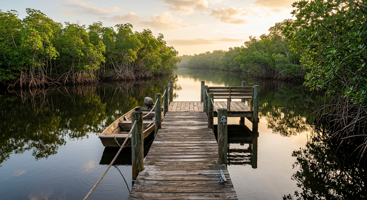
Manicured boardwalks look excellent on a tourism promotional poster. In reality, they smell strongly of stale frying oil and cheap coconut sunscreen. These paved zones exist primarily to keep you lingering near the fountain drinks and souvenir stands, not to immerse you in the estuarine environment. If a marina heavily promotes its dedicated gift shop in 2026, turn around.
You drift past the final concrete pylon under the highway bridge, and the landscape permanently shifts. The overhead traffic dulls to a flat scraping noise. The air temperature drops sharply as the canopy closes in. That sudden coolness against your skin feels like stepping into an empty cathedral.
We sat tracking a quiet channel as the sun dropped. The incoming tide was already erasing the mud flats we just crossed, burying the scattered heron tracks under a series of slow, dark ripples.
Plan your trip: Ready to experience this firsthand? Book Cocoa Beach Dolphin and Wildlife Exploration directly through our marketplace.