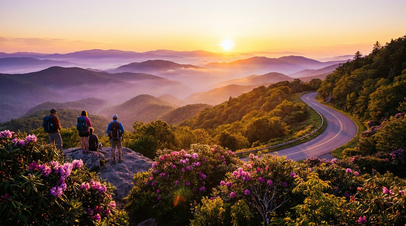
The Asheville Corridor Bottleneck
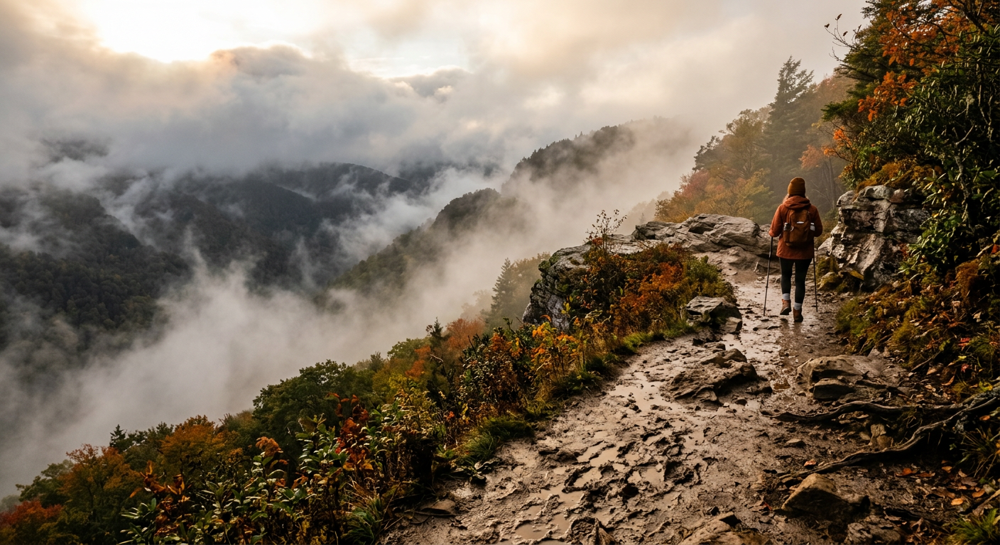
Sixty car doors slamming in unison is the unofficial soundtrack of the Craggy Gardens parking lot on a Saturday morning. You hear the high-pitched chirp of remote locks bouncing off the granite, followed by dozens of stiff boots hitting the asphalt. Planning an itinerary for hiking asheville blue ridge parkway usually means accepting this bottleneck. Everyone funnels into the same twenty-mile corridor just outside the city limits. Back in 2018, I would have circled that upper lot like a hawk, convinced fighting a minivan for a parking space was the toll paid for mountain views. Today in 2026, my approach is different. Fighting a crowd for a clear sightline defeats the basic purpose of stepping into the woods. If it is on a postcard, it is a trap.
Let’s talk logistics without the poetry for a second. The Blue Ridge Parkway stretches over 450 miles, but visitors treat the Asheville segments like a local cul-de-sac. Driving from downtown Asheville east via I-40 to Highway 221, then pushing north toward Collettsville and the Wilson Creek area, takes about an hour and a half. The route winds past small hardware stores in Marion before plunging into the backcountry. It removes you from the high-elevation observation decks and drops you into Caldwell County. You trade sweeping panoramic ridges for drainage basins and logging roads. It is a straight swap: more overhead driving time in exchange for actual isolation on the trail. That is the cost of avoiding the crowds.
Why the Pavement Rule Dictates the Route
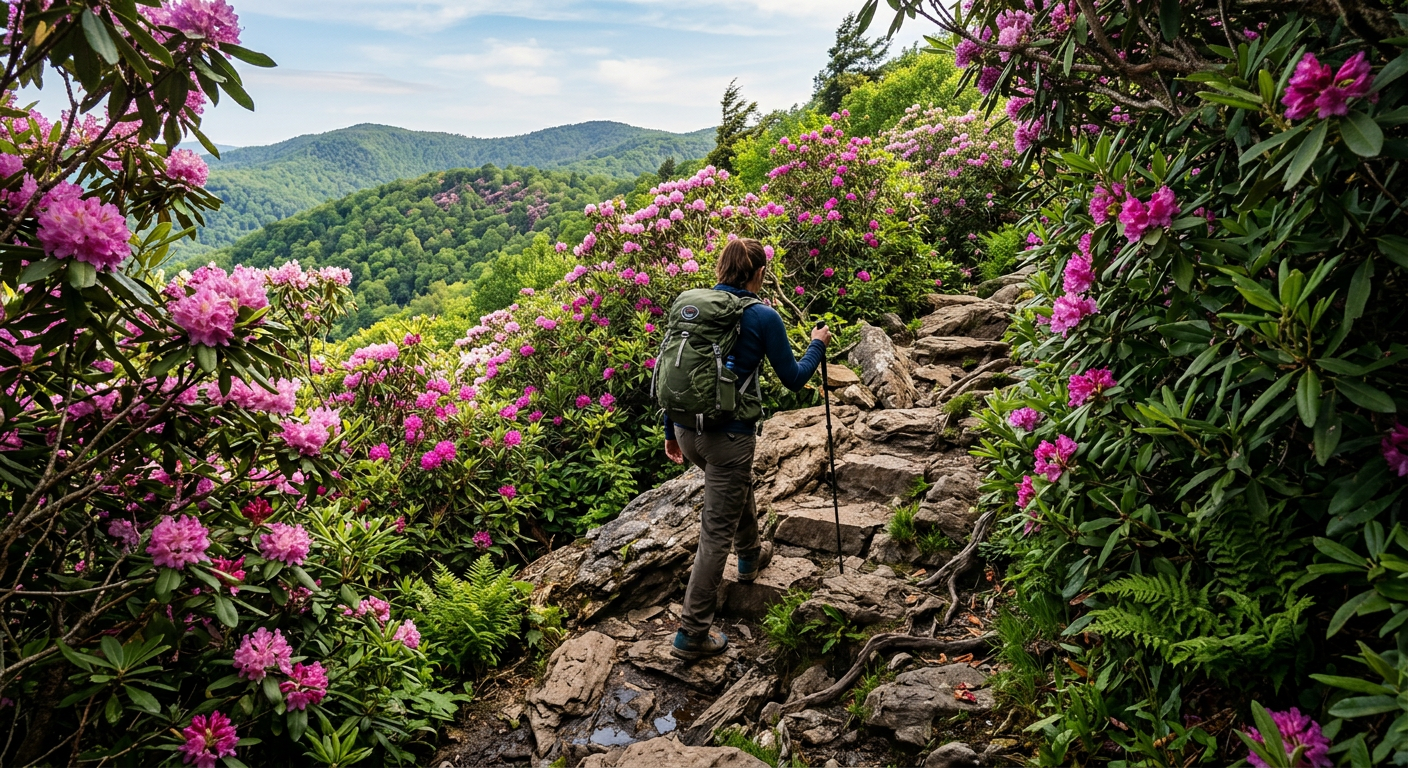
The wind cutting across a Caldwell County ridge carries the grit of crushed quartz. It scours your cheeks as you step off the maintained gravel shoulder. The smooth footpaths vanish quickly. In their place, you find slick granite and knotted rhododendron roots. Most standard guides for hiking asheville blue ridge parkway ignore these peripheral zones because the infrastructure is lacking. A wooden kiosk holding a faded trail map behind scratched plexiglass marks the trailhead for the upper gorge. Someone left a half-eaten sleeve of saltines resting on the bottom beam. I prefer these messy staging areas. Executing a route out here requires treating the paved spots as jumping-off points rather than final destinations.
If a trail entrance relies on fresh asphalt for the first half-mile, put the car in reverse. Those walkways serve a purpose for casual mid-day stretching. They also filter out the rugged character defining this ecosystem. Tracing the unmarked paths along the Wilson Creek drainage requires more physical effort, but it rewards you with rushing creeks you do not have to share. 2019 me would have loved calling this detour a hidden gem. 2026 me knows it is just a local utility road out-of-towners refuse to drive because the potholes look intimidating.
The Ridge Microclimates Defy Logic
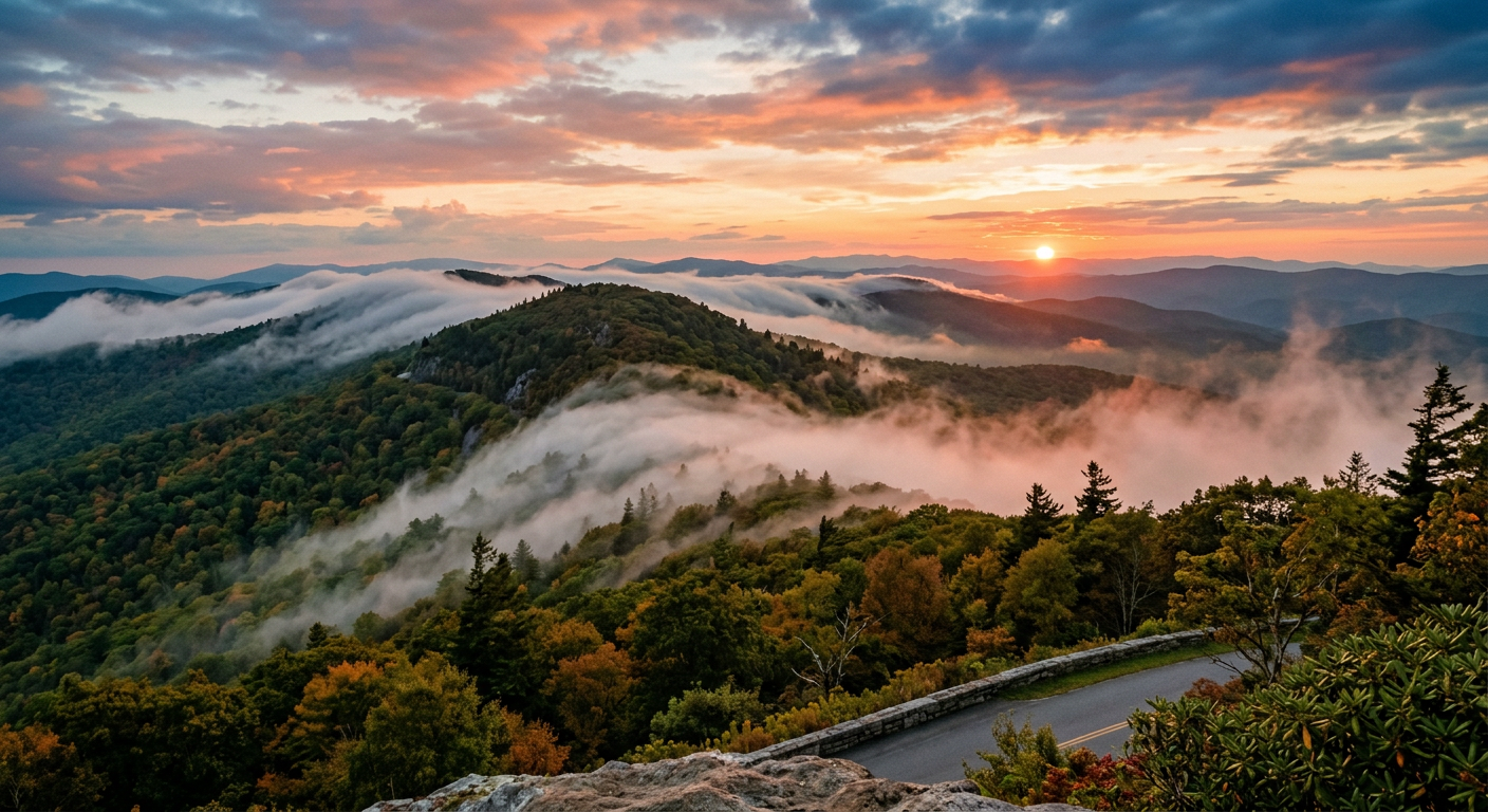
The smell of wet soil and bruised pine needles rises up whenever a squall blows through the trees. I cannot prove this, but the mountains surrounding Brown Mountain seem to invent custom micro-climates just to mock visitors. You check your phone downtown and see a sterile sunny forecast. By the time you navigate the switchbacks to the trailhead, the sunshine vanishes behind a wall of gray clouds. The fog rolls in fast enough to drop the ambient temperature a dozen degrees before you can locate the zipper on your daypack.
Research is my love language; reality is my ex. You can parse radar maps all morning, but a high-elevation ridge creates patterns defying algorithms. Shifting mountain air demands a flexible strategy. To manage hiking asheville blue ridge parkway trails effectively, you often dress for three distinct seasons before lunch.
The Mountain Layering Reality
Pack smart. Relying on the car heater to save you is poor planning. Here is the daily reality for mountain weather adaptation:
- Keep a rain shell handy: Pack it at the very top of your bag for fast-moving downpours.
- Avoid cotton: Sweaty cotton turns to ice when the ridge wind hits. Stick to wool or synthetics.
- Layer for the drop: Expect the summit to sit roughly ten to fifteen degrees colder than the parking lot.
According to the National Park Service, wind speeds at the crests routinely double the speeds measured in the protected valleys. Dress in layers, accept the moisture, and keep moving.
The Pivot from Boots to Axles
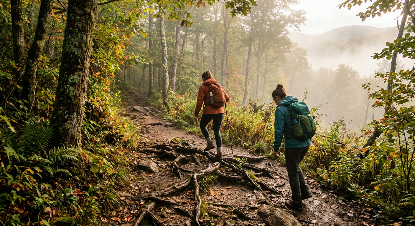
I stood looking at a topographic map spread across a wide boulder near the gorge. Staring at the paper lines, the sheer scale of the Pisgah National Forest settled in. My calves throbbed from the climb. I realized that on foot, we were missing most of the actual terrain. Creating itineraries for hiking asheville blue ridge parkway on two feet builds an undeniable intimacy with the hemlocks, but traversing the deep cuts of the backcountry takes days we lacked. Beige is a sin. So is missing the deepest hollows because a five-mile dirt hike exhausts the afternoon clock. The narrative in my head shifted from wanting a peaceful communion with the woods to wanting serious torque.
The Mechanics of Mountain Mud
The heat baking off a high-powered engine block changes the atmosphere in the forest. It warms your damp legs long before you even pull out of the staging site. Down a gravel wash near Collettsville, a local outfitter operates four-wheel drive side-by-sides out of a dusty clearing. The base camp consists of three olive-green shipping containers. Years ago, I treated motors as a noisy distraction from nature. Now, I view these utility vehicles as the key to unlocking the grid. They chew up the exact mud pits you spend an hour tiptoeing around on foot.
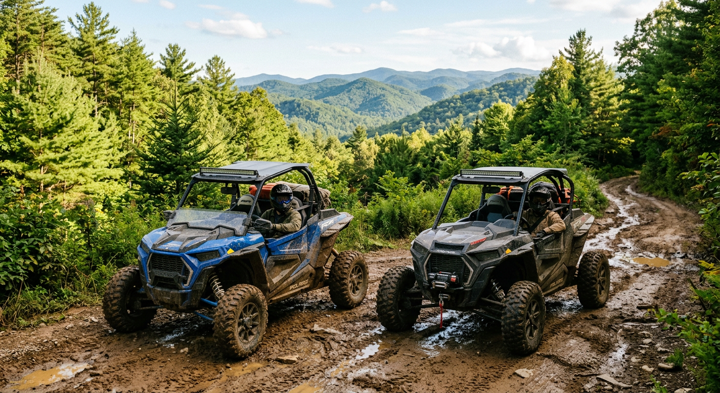
At Rockon Recreation Rentals, our VisitFlorida Travel Partner status usually keeps the focus on sandy coasts. Up here in the Appalachian dirt, the sheer mechanical challenge of navigating uneven trails locks your mind happily in the present moment. Your forearms burn from wrestling the steering column. You negotiate every slick rock and fallen pine branch manually. You do not float over the mountain. You fight it.
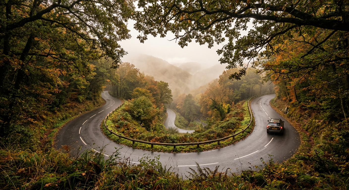
Descending Off the Grid Toward Lenoir
The rhythmic chatter of logging truck brakes echoes down the canyon curves. It replaces the polite hum of passenger cars as you steer away from the upper turnouts. When people ask us about the best loop for hiking asheville blue ridge parkway, we point them toward the shaded descents pulling down toward Lenoir. Getting off the overcrowded stretches requires dealing with a series of steep, blind curves testing your vehicle's brake pads.
The Map Goes Blank
Then, the screen goes dark. A few miles into the descent along Brown Mountain Beach Road, my phone lost its GPS lock. Staring at a blank digital grid on the dashboard is common out here. Trying to track your progress digitally is a liability. You write down directions on paper, relying on physical landmarks like low-water bridges and rusted county line signs. Navigating this terrain requires analog skills most of us abandoned a decade ago. It forces a mechanical pace.
The 2024 terrain surveys from the United States Forest Service show cell service maps remaining largely aspirational in these deep valleys. Letting the winding dirt roads drop you into secluded pockets provides a specific reward for those willing to drive without a safety net.
The Red Clay Receipt
You scrape mountain dust off your back molars before finding your car keys in your jacket pocket. That faint taste of topsoil means you managed the dirt road detour correctly. Transitioning from the quiet trails to the aggressive rumble of a side-by-side alters the rhythm of the trip, but the physical toll remains identical.
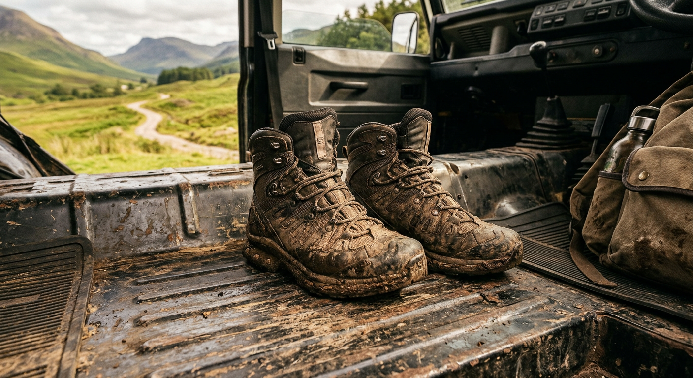
I used to pack wet wipes to scrub my boots before loading the trunk. The dried mud clinging to the treads offended my sense of order. This 2026 season shifted my perspective. The red clay in Caldwell County possesses the consistency of wet concrete. It binds to shoe mesh and hardens into a dense shell. The grime stuck to your calves assumes the role of a hard-earned receipt for the miles covered.
Popular travel blogs suggest wearing lightweight canvas sneakers for these local loops. Their writers clearly never stepped into a Wilson Creek rut. To experience the isolated side of walking and driving the Blue Ridge, you leave your pristine white trainers at home. Your quads complain the next morning. It is a sharp stiffness registering right when you try to walk down stairs for coffee. As you watch the muddy water swirl down the shower drain, you realize the soreness proves you interacted with the woods instead of just viewing them. Beige travel leaves you rested. The real thing leaves you exhausted.
Plan your trip: Ready to experience this firsthand? Book North Carolina RZR Rentals directly through our marketplace.