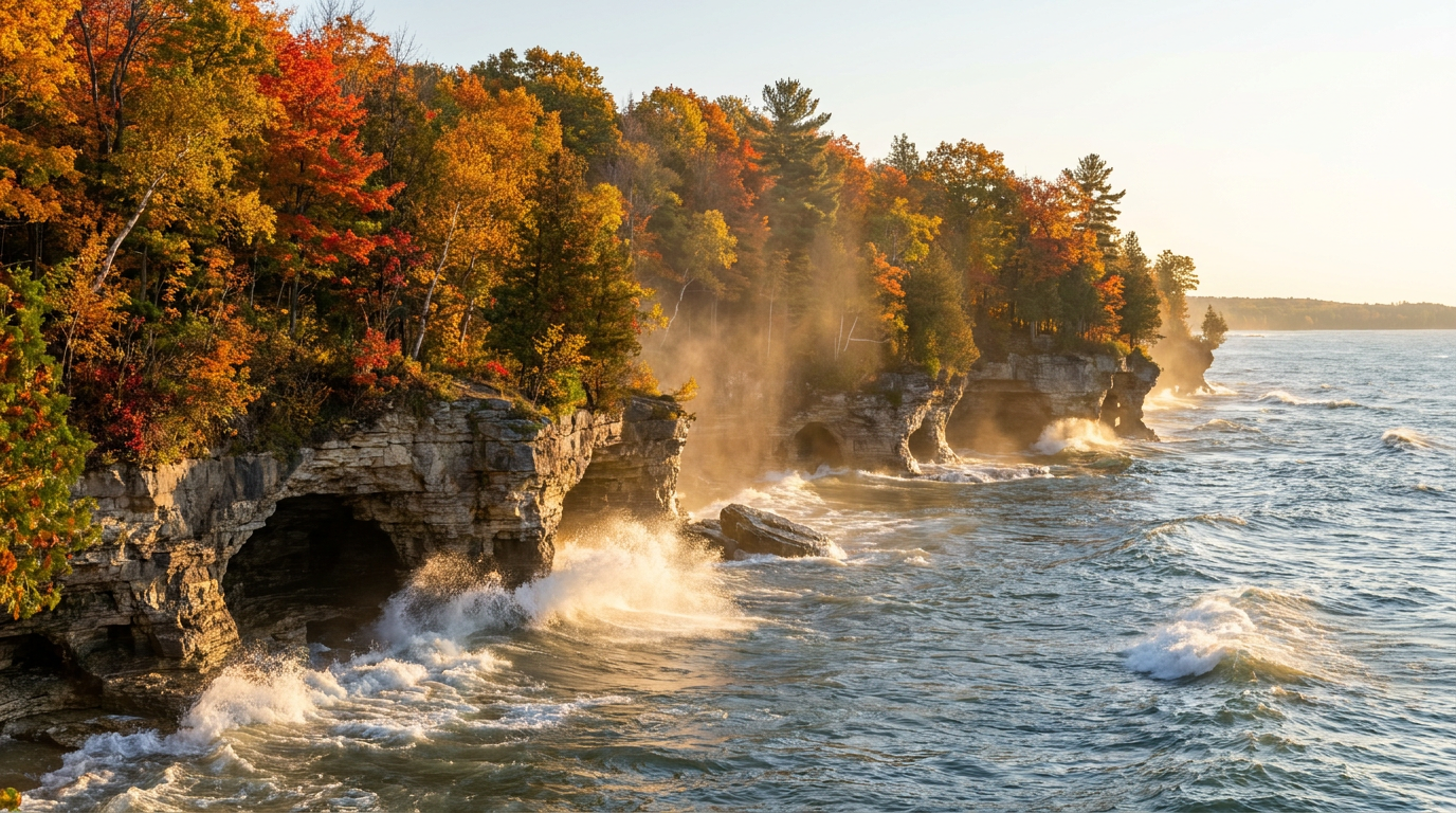
The Hollow Roar of Lake Michigan Hitting Dolomite
The concussive boom of Lake Michigan at Cave Point County reverberates through the soles of your boots before you even clear the tree line. It is a hollow, rhythmic thud. The Niagara Escarpment acts as a natural seawall here. The spray flying off the stone tastes of cold iron.
The damp dolomite feels like fifty-grit sandpaper against your bare palms. The morning marine forecast promised a gentle breeze, but the wind on this exposed shelf pushes hard enough to stagger an adult. You sit down just to lower your center of gravity. Everything is wet.
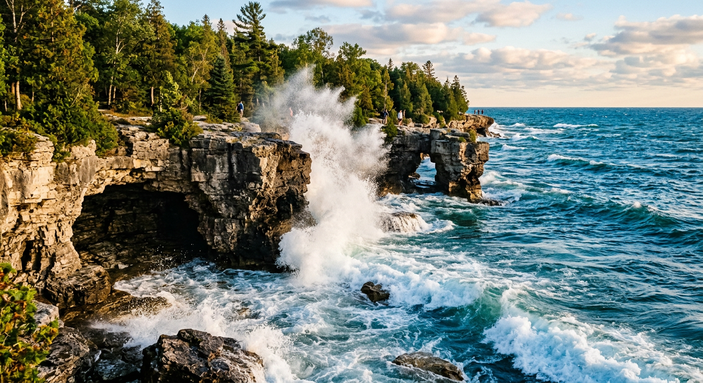
I cannot verify this, but the ledge feels structurally compromised even on calm days. According to a 2026 report by the Wisconsin Department of Natural Resources, the water depth plunges immediately at the cliff edge. Watching tourists lean over the unprotected drops makes my chest tighten. Trust your gut on this, even if the brochure says the rock is solid. If they added natural stone barriers near the viewpoints, the show would be more relaxing.
The Architecture of a Prehistoric Extinction
The forest floor smells of decomposing cedar and pulverized calcium. The ground beneath Cave Point County is not just standard coastal rock. It is the exposed rim of a 400-million-year-old fossilized coral reef. The Niagara Escarpment forms a massive geological bowl that cups the Great Lakes, stretching all the way back to Niagara Falls. You are walking on the remains of a prehistoric Silurian sea.
The stone is dolomite rather than standard limestone. Dolomite contains magnesium, making it harder and more resistant to the constant grinding of the waves. That structural density creates the overhanging ledges. Softer rock would have washed away millennia ago.
When I first started exploring this coastline in 2018, I viewed these ledges merely as a convenient diving board. The historical significance went unnoticed. 2026 me realizes that every step crunches ancient marine life. Understanding the timescale of the escarpment changes how you move across the shoreline. You stop rushing and start looking down.
Navigating a Fragile Cliff Edge Ecosystem
Beyond the limestone, the escarpment hosts a brutal micro-ecosystem. Specialized ferns grow directly out of vertical cracks holding zero soil. The Wisconsin Department of Natural Resources notes that the rare dwarf lake iris thrives in these specific dolomite crevices. You see tourists trample the edge vegetation to get a better selfie angle. They crush centuries of root development for a photo. Beige is a sin, but destructive vanity is worse.
Why Most Visitors Photograph Cave Point County Wrong
The parking lot maxes out by 9:00 AM on summer weekends and smells of damp pine needles and burnt brake pads. Someone wedged a half-eaten green apple behind the trail map kiosk. A guy in bright yellow Crocs was staring at his phone screen while standing inches from a sheer drop. Search the phrase cave point county on any photo app and you see the exact same glitch replicated ten thousand times. Visitors stand rigid on the upper ledges, pointing their camera lenses straight down at the water. It looks flat.
The Vertical Disconnect
Geological survey maps from the Wisconsin Geological and Natural History Society database show sharp drop-offs right at the shoreline. Standing on the popular cliff lookouts, that underwater depth just registers as cold empty space. You cannot grasp the scale from above.
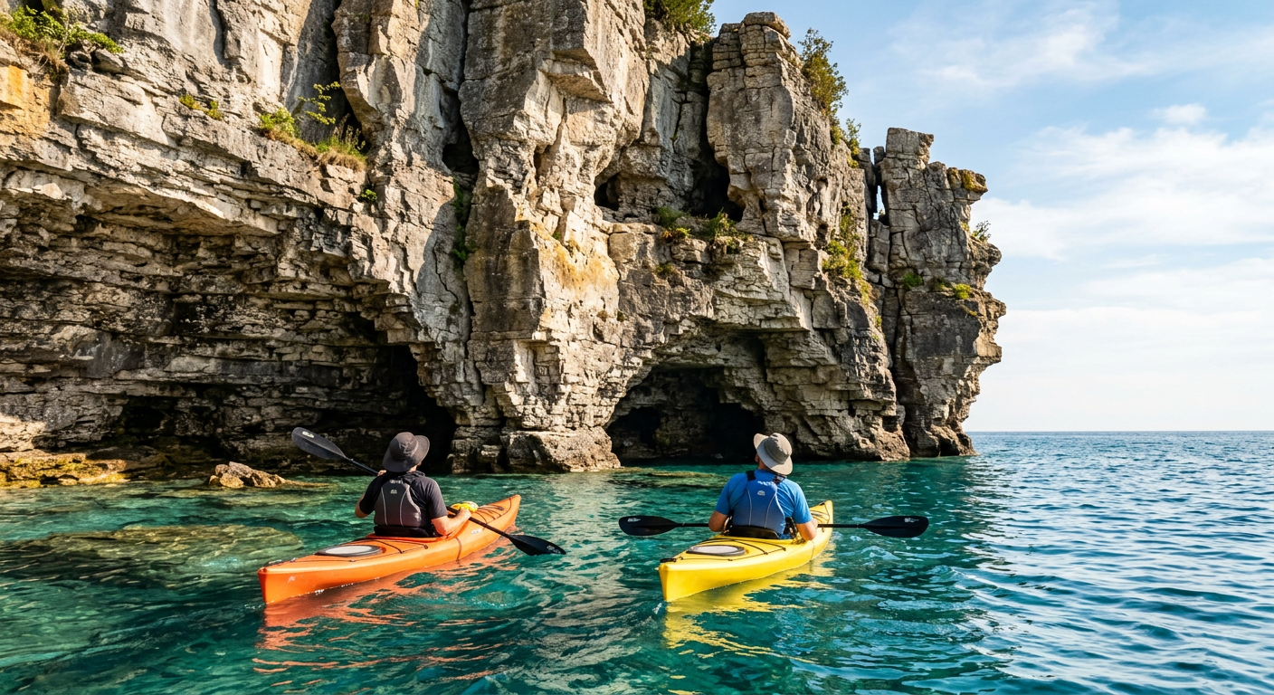
You taste chalky algae in the mist when you finally get down to the waterline. The shadowed air inside these shallow caves registers cooler than the surface trail. Pressing a hand against the jagged dolomite reveals slick green sediment coating the stone.
Tourism boards promote these ledges as an architectural marvel. If it is on a postcard, it is a trap. Usually, that translates to two basic rocks next to a highway. The towering overhangs viewed from a kayak earn the area its reputation. You can book a boat through Rockon Recreation Rentals, a VisitFlorida Travel Partner, to escape the crowded rim above. Just check the marine forecast before paddling out.
Reading the Lake Michigan Fetch Forecast
The air goes clammy the moment you step off the main path and into the shadow of the cliff. The rock outcroppings swallow the direct sunlight. The microclimate here loses its afternoon warmth, regardless of what the weather app claims.
Understanding the water conditions at Cave Point County requires looking at a map of Lake Michigan as a whole. The meteorology of the Great Lakes operates on fetch—the distance wind travels over open water without obstruction. When a northeastern wind blows down the length of the lake, it gathers momentum for hundreds of miles before slamming directly into this specific rock wall.
According to National Data Buoy Center readings, the wave period between swells sits at a tight four seconds during these events. That rapid rhythm gives the returning water nowhere to go. A standard forecast might show clear skies and a five-mile-per-hour breeze on land. Meanwhile, the lake surface is a washing machine of rebounding swells. This discrepancy catches inexperienced boaters off guard.
The Mechanics of a Dolomite Launch
Launching any watercraft here involves sharp friction. You slide a hand along the rock to steady the hull before stepping in. Then comes the noise. The jagged stone scrapes against fiberglass as you push off. It sets your teeth on edge.
A popular local paddling forum claims this spot is an accessible entry point. The forum lies. There is no gentle sandy beach waiting. You awkwardly shimmy off a shelf while timing incoming swells, hoping to dodge an early swim.
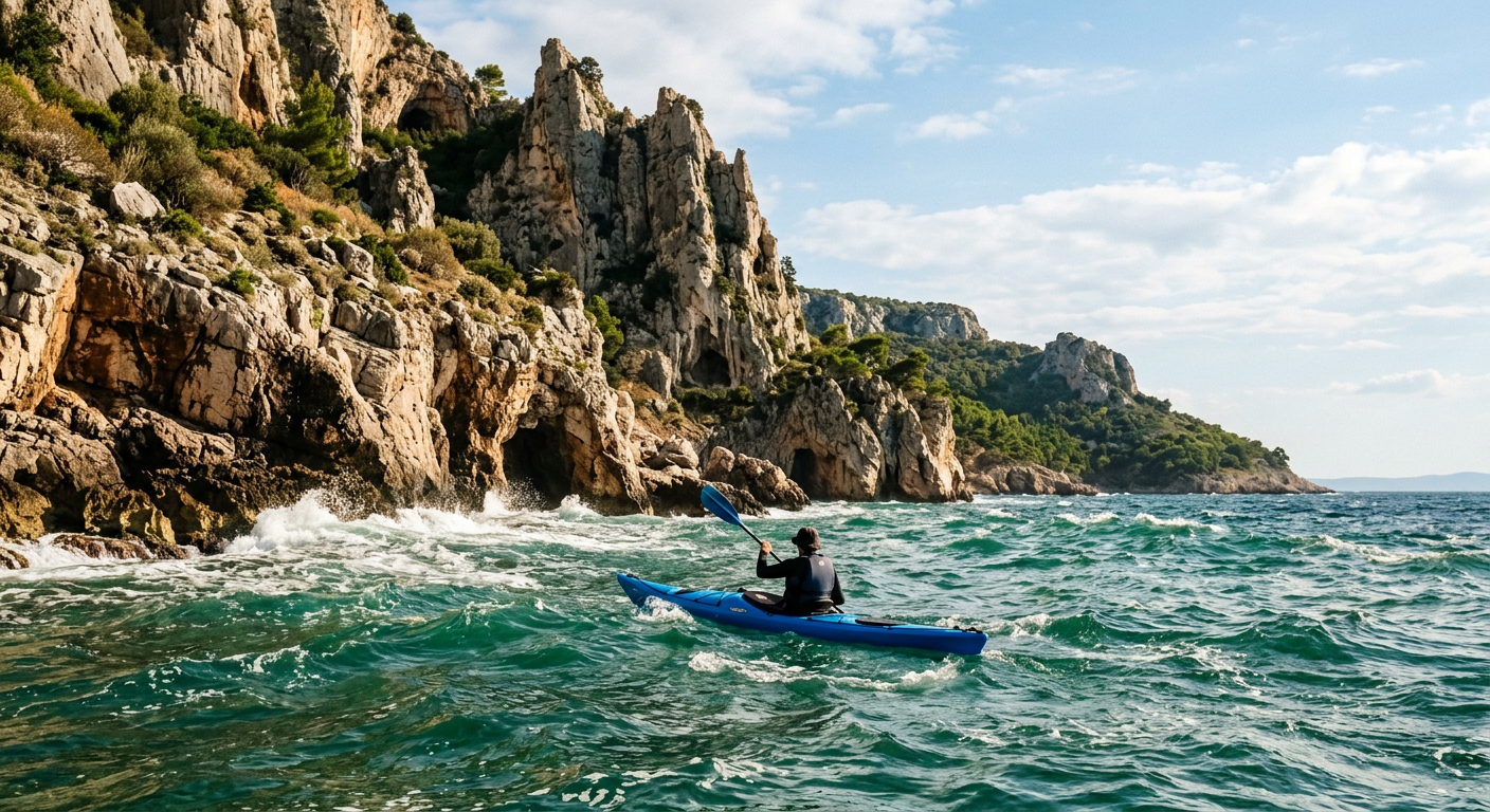
Out here, you are not casually paddling. The vertical escarpment face provides zero shoreline to absorb the energy of the lake. Every swell hits the wall, doubles back, and tries to pitch you sideways. Angling your boat slightly into the rebound is the only way to hold a line.
Exactly 43 paddle strokes away from the launch point, the crowds vanish and the scale of the escarpment hits you.
The Constraints of the Drop Zone
You taste chalk in the back of your throat before you reach the edge for a jump. The line for the main launch holds roughly thirty people standing barefoot on the jagged dolomite. Recent NOAA marine buoy readings show the surface temperature off Cave Point County in late July hovers around 60 degrees. Hitting water that cold alters your breathing.
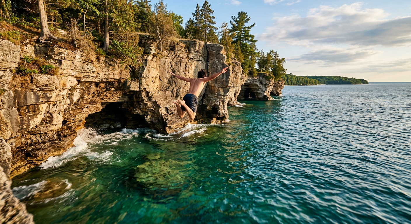
The park covers 19 acres of shoreline. On a warm Saturday, the sheer volume of spectator noise makes the stone amphitheater feel claustrophobic. Every few minutes, a jumper hurls themselves off the top tier to scattered applause. They usually scramble back up the rock face looking pale, wrap themselves in beach towels, and decide they are done swimming for the day.
The tricky part of entering the water at Cave Point County is getting safely out. The limestone walls rise overhead above the strike zone. Looking up at those sharp rocks from the waves induces a quick spike of panic. The area lacks a defined exit route for swimmers. You must wait for a swell to lift you, grab a handhold, and haul your body weight over the crest before the water drops again.
Observing the Water
I hiked away from the main cove and found a flat slab of rock near the southern boundary. I sat down. I drank lukewarm water from my thermos. A single cormorant stood on a dead piece of drift wood about fifty yards offshore. The sky was gray. I stayed there for twenty minutes.
The official local tourism guide promises you will glide calmly inside glowing cave mouths if you rent a board or boat. That is impossible on days with an east wind. If the breeze tops ten miles per hour, which it does most afternoons in 2026, the water does not gently lap against the limestone. It surges.
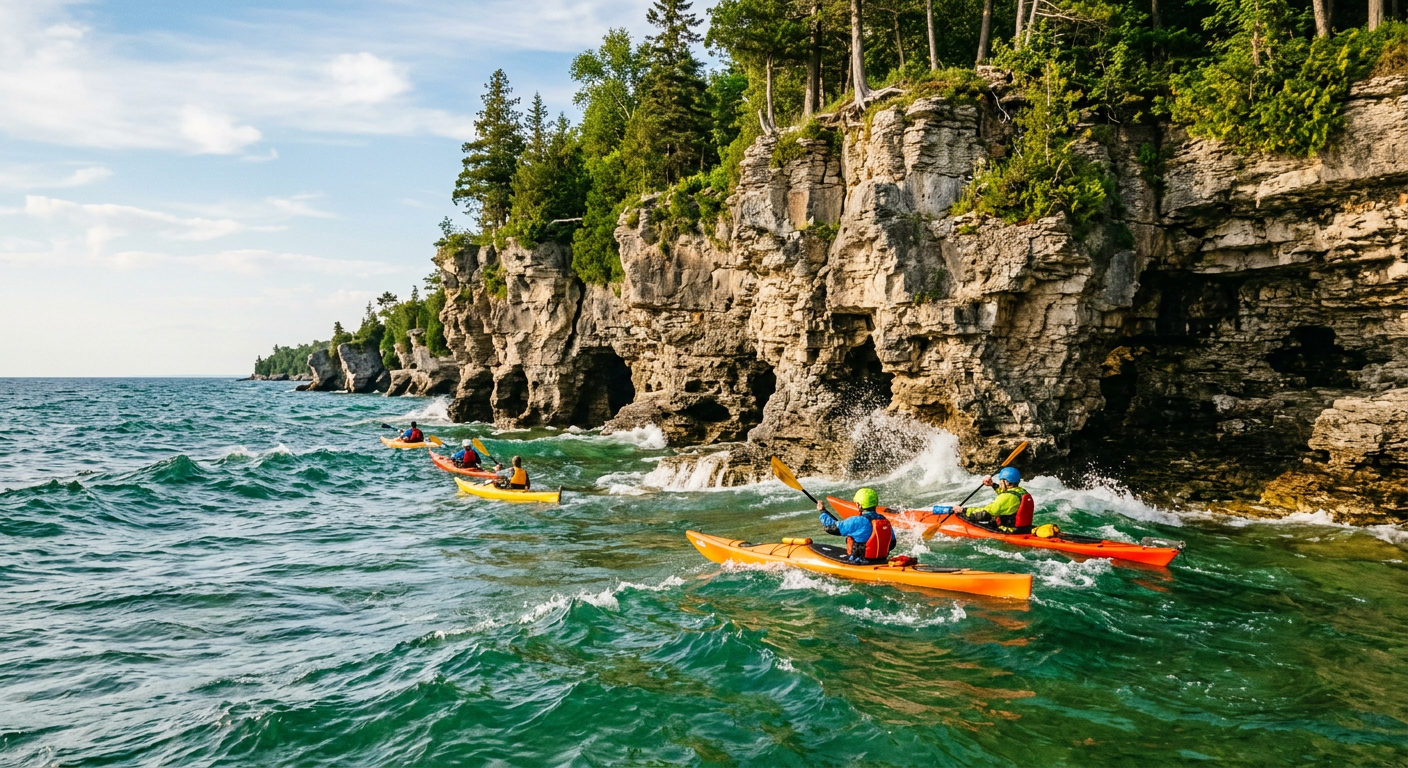
The hydraulic pressure pushes water up into the shallow caves. The boxed-in pocket of rock hisses as water compresses against the limestone ceiling. Massive air bubbles pop on the surface. The spray smells of wet dirt. The wind dies down for a few minutes, but the escarpment remains.
This article was researched and written with AI assistance and editorially reviewed by Greg Faucher, a travel writer for Rockon Recreation Rentals, a VisitFlorida Travel Partner since 2018. He tends to remember the sounds of a place long after he's forgotten the name of the hotel.
Plan your trip: Ready to experience this firsthand? Book Cave Point County Park Door County Wisconsin Scenic Kayaking directly through our marketplace.